Getting Started
Maps
Your Account
Adding Data
View Data in the List
About The List
The data you add to a Site Control map, either through surveying properties or importing datasets, is all organized in a spreadsheet under the “List” option in the navigational bar. Inside the List, data is matched to parcel IDs.
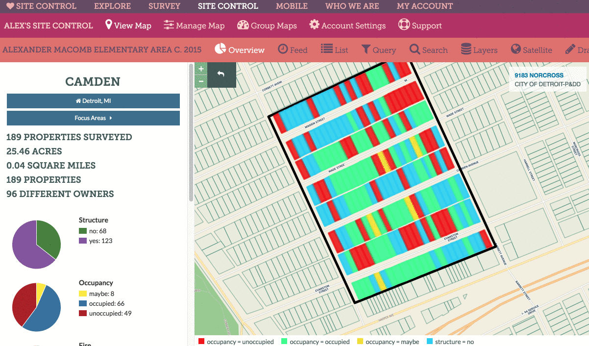
As with other elements of Site Control, the List contains data based on the boundary you are looking at when you click the icon. For example, if you are looking at the entire city of Chicago and click “List” you will have all the data in your Chicago Site Control map appear in the List, organized into pages of 100 properties per page. If, on the other hand, you click a neighborhood boundary, then click List, you will see data ONLY for the properties within that neighborhood boundary.
Exporting Data from the List
You can export data from the List by clicking the “Download CSV” button. This, too, will extract data based on the boundaries you are currently viewing. So, if you click Download CSV while looking at a whole city, you’ll download data for the entire city. If you click Download CSV from within in a neighborhood, you’ll get data just for that neighborhood.
Below is an animation showing how to navigate the list and export data: